
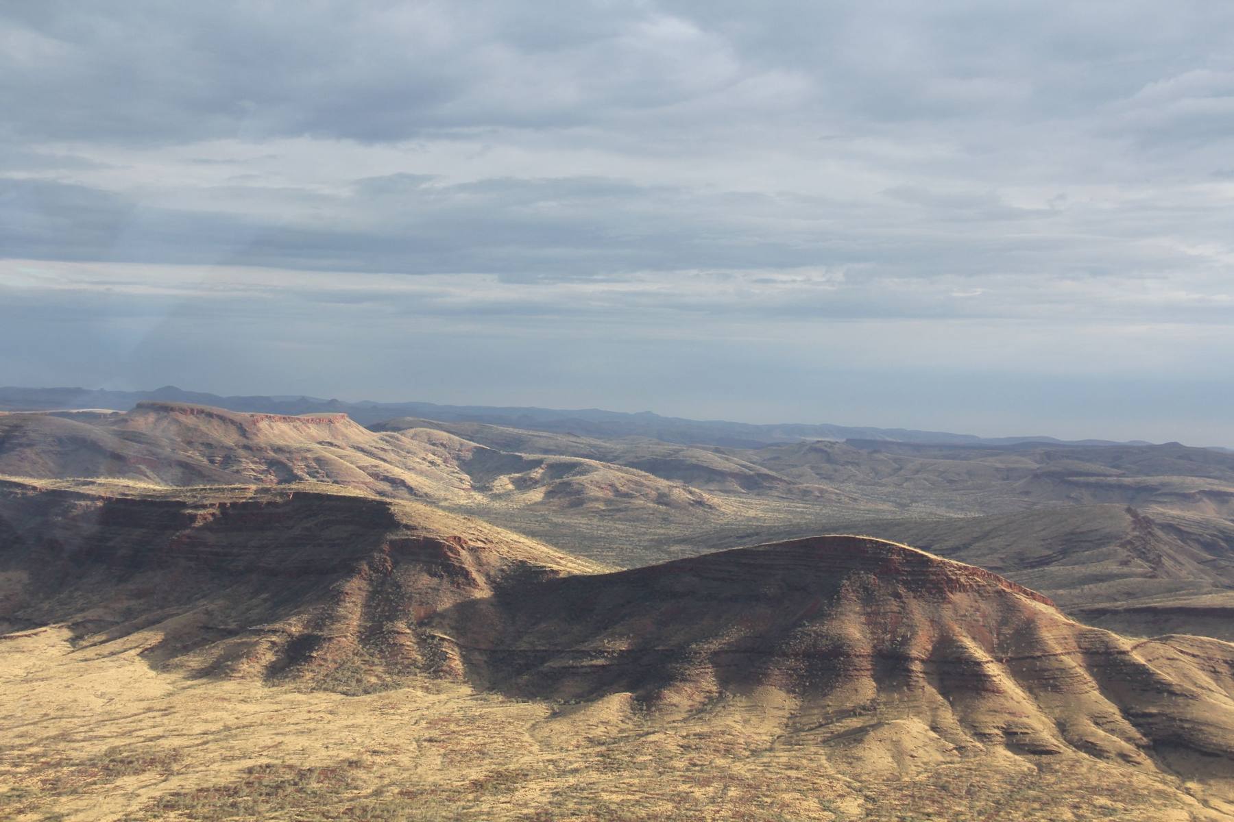
Spatial Mapping & Data Insights
Terra Rosa uses Geographic Information Systems (GIS) to bring together satellite imagery, drone data, cultural knowledge and environmental information.
This technology allows our team to see what is happening on Country, where it is happening, and how it relates to cultural and environmental values.
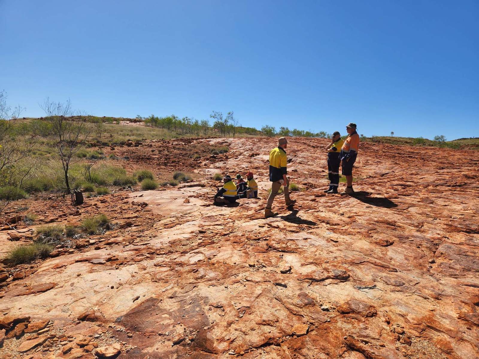
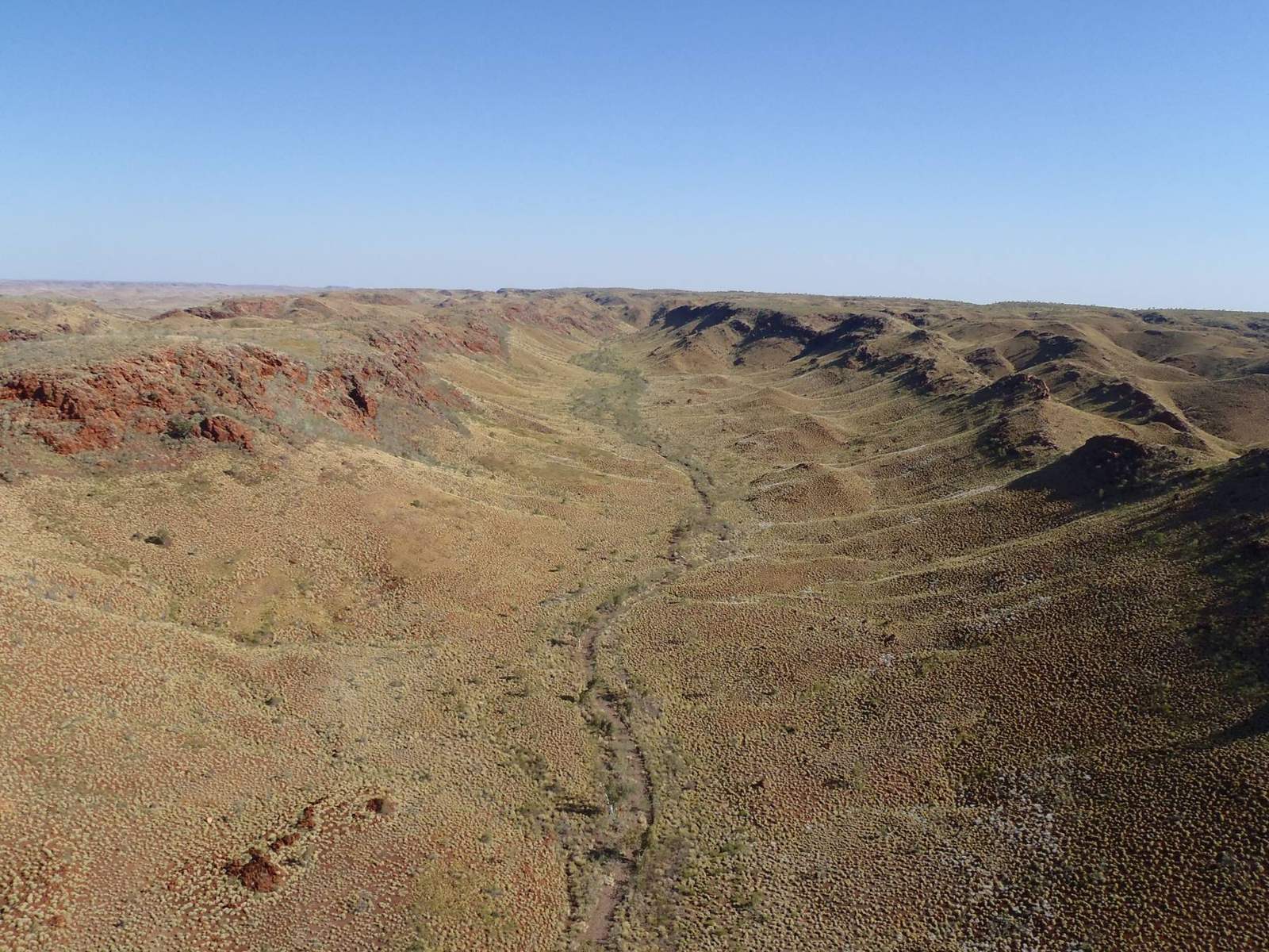
Spatial Recording & Data Management
Accurate capture, storage, and management of spatial data to meet the full spectrum of client needs and support the protection of cultural sites.
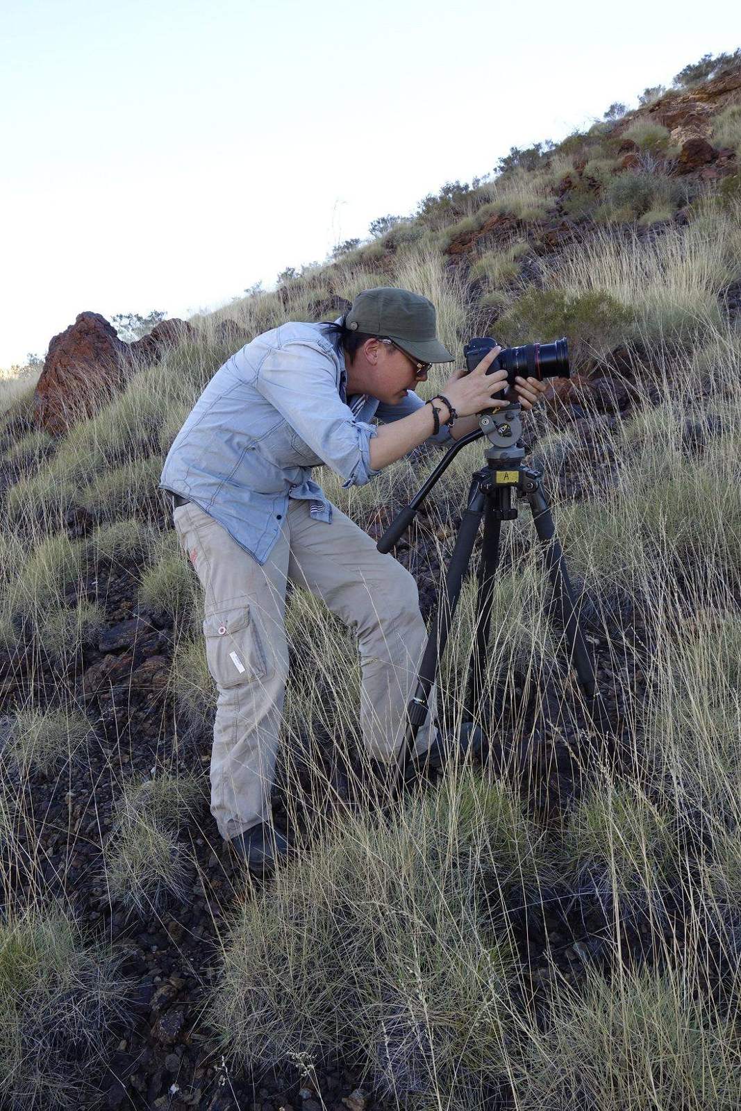
3D Capture & Modelling
High‑resolution 3D data capture and modelling of cultural sites and landscapes to assess impacts and support preservation and long‑term monitoring.
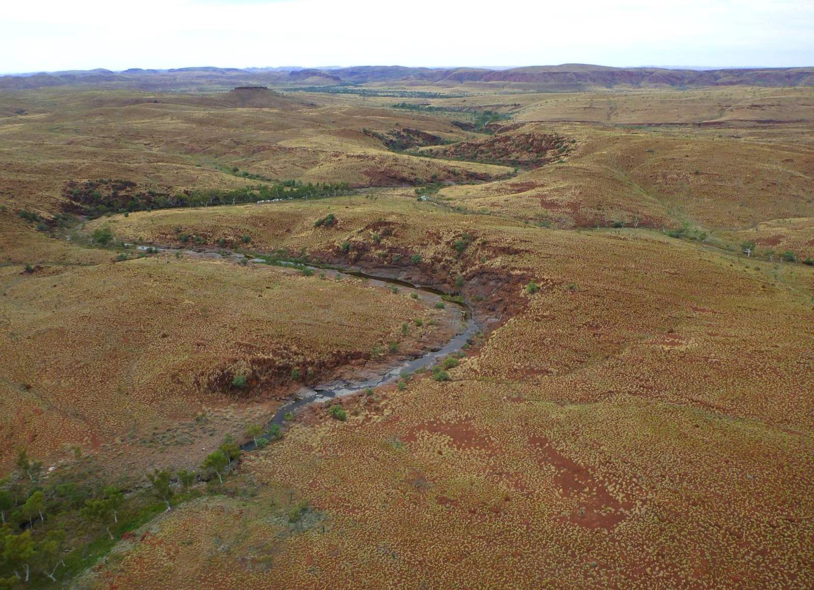
Virtual Site Tours
Interactive maps and 3D visualisations that provide remote access to Country, enabling consultation, education, inspection, and decision‑making while protecting sensitive or restricted areas.
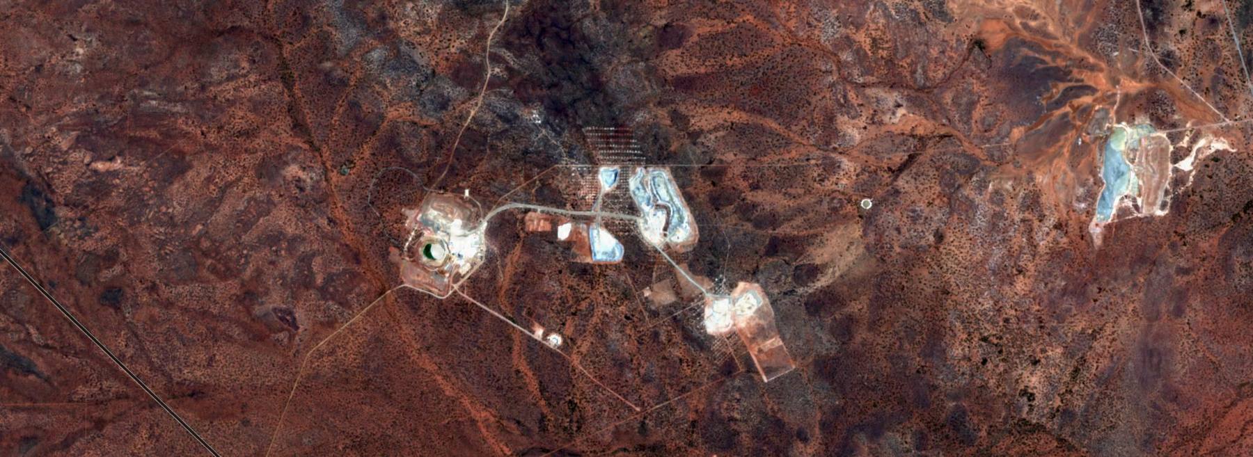
Remote Sensing & Environmental Monitoring
24/7 satellite‑based monitoring using AI and GIS to ensure compliance with heritage approvals, and support rapid impact assessment across Country.
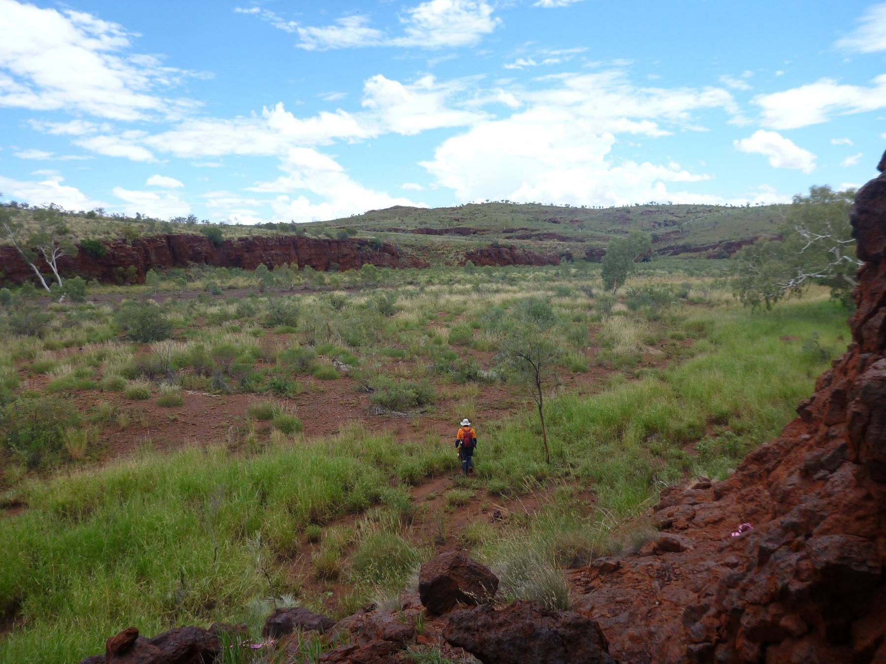
Mapping Services
Our spatial tools can map significant sites across Country, creating fast, accurate data for planning, negotiations, and risk assessment.
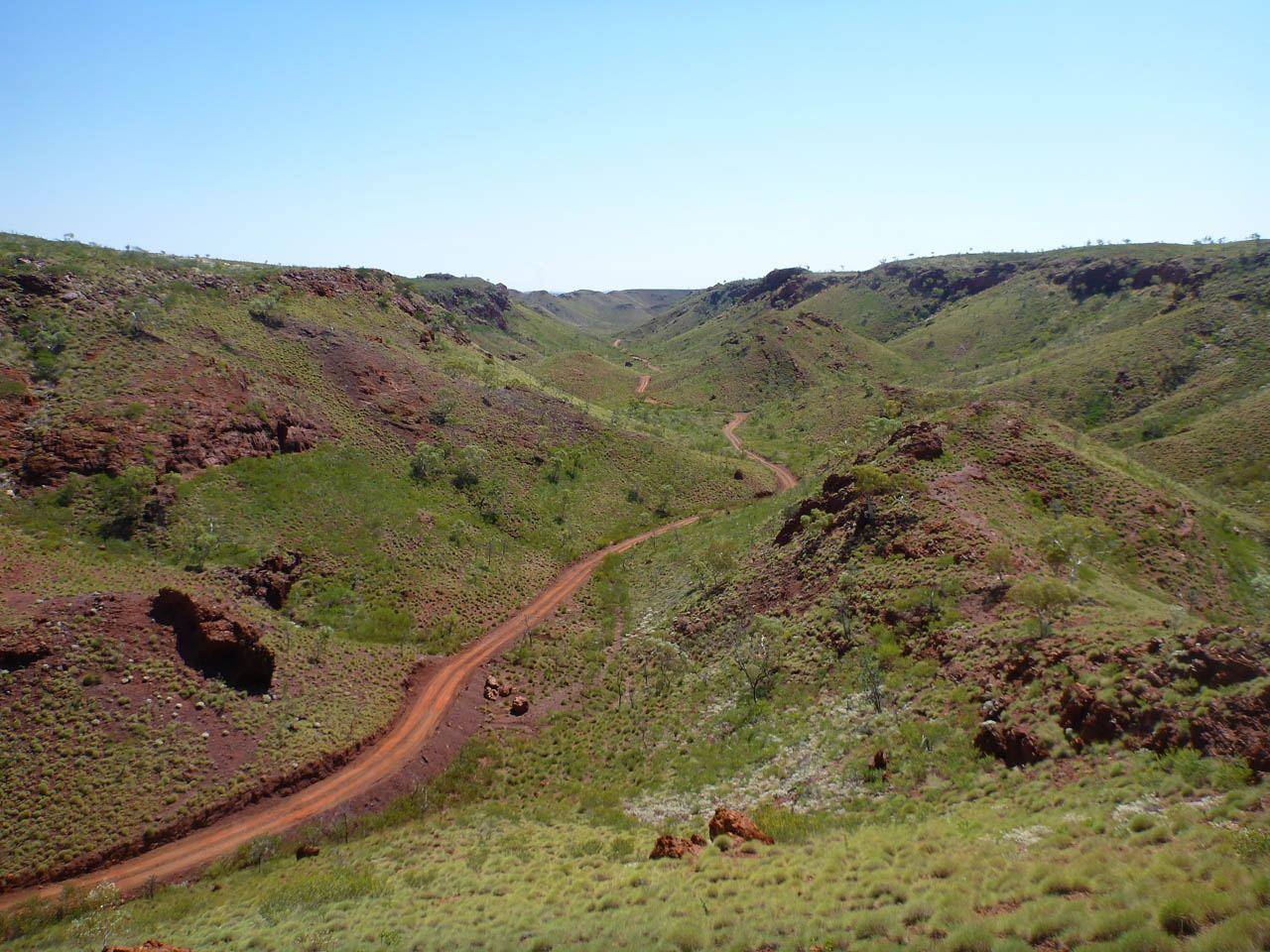
GIS-Based Reporting & Analysis
We analyse and interpret spatial data to support informed decisions and improve project outcomes.
Explore Advanced Mapping Technologies
From subsurface investigations to landscape-scale monitoring, discover how our Ground Penetrating Radar and Remote Sensing services provide deeper insights into Country.
Our solutions
Our teams span cultural heritage, environmental and spatial disciplines, allowing us to form focused, multi-disciplinary teams around each challenge.
Meet Our Mapping & GIS Specialists
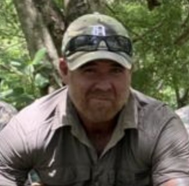
Bill Welsh
Research & Development Specialist

Hernando Tangjaya
GIS Officer
Saili Vernekar
GIS Officer
Where to Find Us
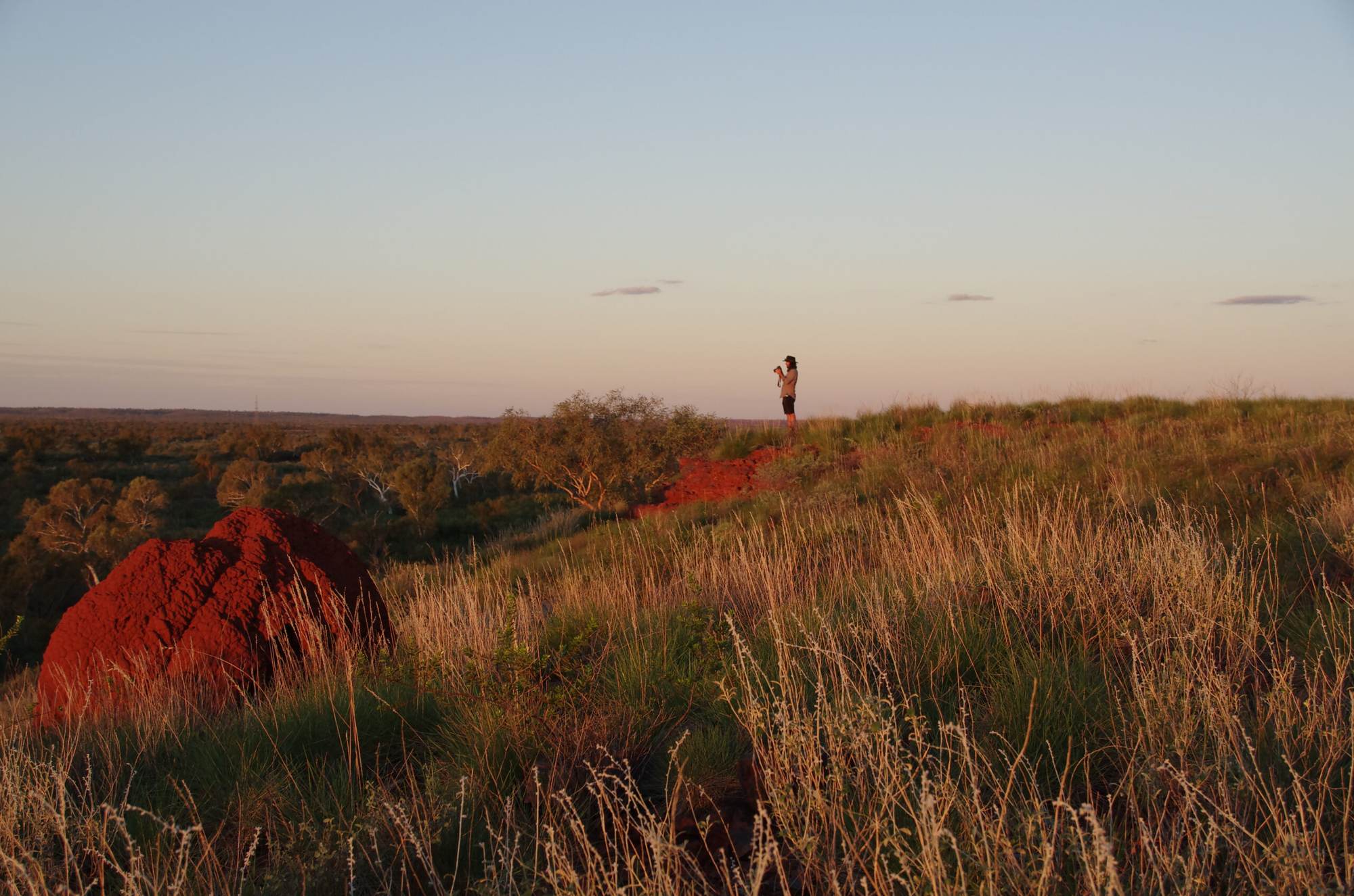
We operate across Australia with established teams in Western Australia, Queensland, Victoria and South Australia. From remote regions to urban environments, our model allows us to mobilise quickly and work closely with local communities.
Port Hedland
Kalgoorlie
Fremantle
Adelaide
Melbourne
Bundaberg
Brisbane
The Best Work Starts With the Right Conversation.
Whether you’re representing a Traditional Owner group or planning a project, we’ll meet you where you are.
Protected by reCAPTCHA. Google’s Privacy Policy and Terms of Service apply.